Iran’s Aras and Tabas geoparks are in line for possible UNESCO inscriptions, a cultural heritage expert from the UN cultural body has said. All-inclusive dossiers have been completed for Aras and Tabas geoparks to be registered on the United Nations Educational, Scientific, and Cultural Organization’s Global Geoparks list, ISNA quoted Alireza Amrikazemi as saying on Friday. These sites, however, need to be evaluated by UNESCO assessors, who will visit the country this spring and summer, he added.
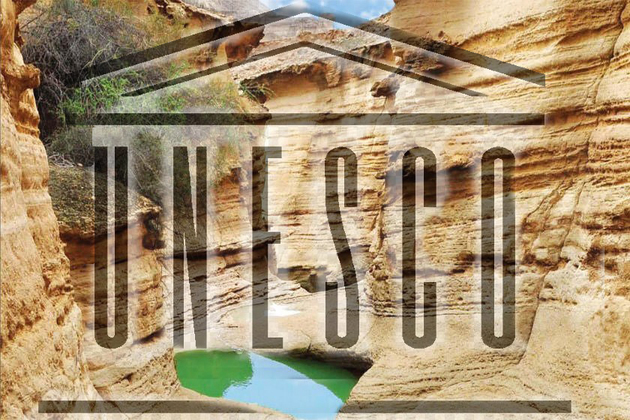
Tehran Times reports that Tabas Geopark, which is situated in a vast county of the same name in east-central Iran, has enormous potential to be registered as “the biggest geopark” in the West Asia region. Sprawled in the eastern province of South Khorasan, Tabas Geopark includes a variety of scenic landscapes and untouched terrains with the mysterious Kal-e Jeni (canyon of Jinn) located in Azmighan village, among them.
Situated in East Azarbaijan province, Aras Geopark covers an area of about 1670 square kilometers, sprawling across the whole Jolfa county. The topography is generally extremely steep and forms astonishing landscapes so the highest point in the Jolfa region is the Kiyamaki mount with 3347 meters and the lowest points include the northern boundary and the Aras River valley with 720 to 390 meters.
It has an appropriate geo-tourism attraction, because of its mountainous landscapes, an outcropping of different sedimentary and igneous rocks, diversity in tectonic structures, semi-cold and semi-arid climate, and diverse flora and fauna.
In May 2017, UNESCO included Iran’s southern Qeshm Island on its Global Geoparks list. Qeshm embraces a wide range of ecotourism attractions such as the Hara marine forests and about 60 villages dotted mostly across its rocky coastlines. The island has an abundance of wildlife, including birds, reptiles, dolphins, and turtles as well.
Experts believe that the majority of geoparks help promote awareness of geological hazards, including volcanoes, earthquakes, and tsunamis and many help prepare disaster mitigation strategies with local communities. Geoparks embody records of past climate changes and are indicators of current climate changes as well.
A UNESCO Global Geopark fosters socio-economic development that is culturally and environmentally sustainable directly affecting the area by improving human living conditions and the rural environment. It gives local people a sense of pride in their region, strengthens public identification with the area, and promotes a better understanding of the area’s geological, natural, archaeological, cultural, and industrial heritage.


