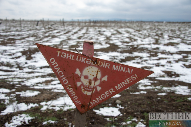
The minefield maps provided by Armenia are inaccurate, the Azerbaijan National Agency for Mine Action (ANAMA) reported.
Armenia's most recent submissions continue to display this information incorrectly and incompletely.
"After analyzing and processing these forms, it became clear that the information did not correspond to the actual minefields, rendering the coordinates of the reference sites erroneous and ineffectual," the statement reads.
Armenia handed Azerbaijan 8 maps depicting minefields in Azerbaijani territory liberated from Armenian occupation. These publications mostly document minefields that encircle the Murovdag ridge in the Kalbajar region. It was noted that Armenia's minefield paperwork refers to areas of the regions along the preceding line of contact.
"No information is now accessible on the former line of contact that runs through the Khojavand, Tartar, and Goranboy districts or about the regions mined by Armenian armed units during their November 2020 withdrawal," the statement reads.
The ANAMA recalled that Armenia's data accuracy regarding minefields laid in the Aghdam, Fuzuli, Jabrayil, and Zangilan regions in 2021 was reported at 25%.
"Mine accident statistics demonstrate widespread contamination not only along the previous line of contact but also in populated areas, farmlands, riverbanks, forests, and cemeteries. Since the Second Karabakh War, 247 out of 345 mine victims have been injured or killed in incidents that occurred outside the previous line of contact," ANAMA said.
The ministry noted that widespread mining of civilian territories is a crime against humanity and a serious violation of international law.


