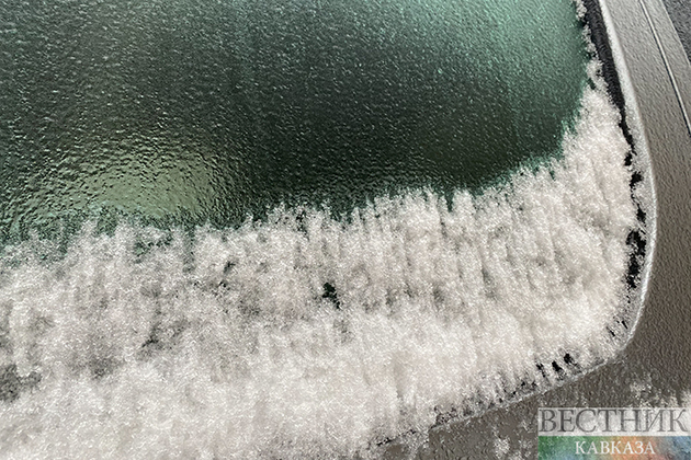
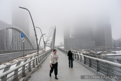
A pounding stretch of rain, wind and snow that cut a path of destruction through California pushed east toward U.S. Midwestern and Southern states overnight, threatening ice storms in Minnesota and tornadoes in Texas.
A so-called “multi-hazard storm” threatened to cover parts of the country in a wintry mix beginning Monday night from the central and Northern Plains to the Western Great Lakes, while also fueling thunderstorms, tornadoes and periods of hail across parts of the South.
The severe weather could affect travel as many people return from the New Year holiday break, and cause widespread power outages.
The storms formed from the same “atmospheric river” system that drowned California over the weekend, causing record rainfall and flooding in the bay area, before dropping four feet of snow on Utah and almost a foot of snow in parts of Arizona. California is still recovering from the mess left over New Year’s weekend, even as forecasters warn another, possibly larger storm is expected to hit the northern part of the state again on Wednesday.
Approximately 35 million people could be impacted by severe thunderstorms through Tuesday. Heavy rain in the South could also cause flash flooding.
The highest snowfall could total over 18 inches in the northernmost parts of the Midwest, including Minnesota, according to a National Weather Service online forecast discussion, and into Tuesday morning snow could reach a rate of one to three inches per hour.
Dozens of counties in Minnesota were also under ice storm warning, where up to half an inch of ice could accumulate on the ground and wind gusts of up to 40 miles per hour could make travel “nearly impossible,” according to the National Weather Service.
In Colorado Monday morning, the National Weather Service attributed delayed and canceled flights in Denver to a unique situation: a limited quarter-mile of visibility for pilots because of a freezing fog.
The potential cancellations and delays come just more than a week after a wave of flight cancellations and delays caused seeming anarchy in airports because of winter weather, staff shortages and, in the case of Southwest Airlines, an unusual operations system and technology problems.
In the states forecast to be hit by freezing rain, including Kansas, Nebraska, Iowa, Minnesota, and Wisconsin, even mere driving could be dangerous. Icy precipitation could result in downed tree branches and power lines, according to the National Weather Service, and gusts of wind could create “areas of blowing or drifting snow” throughout the day, with little to no visibility.
As of Monday evening, portions of Texas, Oklahoma, Arkansas, Louisiana and Kansas remained under tornado watch. In North Texas, outside Plano, the region was at risk for severe thunderstorms early Monday, and the region to the East was under a tornado watch. Lingering Christmas lights stirred in the wind, and dark gray clouds hung over the plains.


