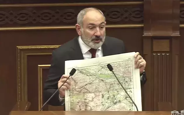
The Armenian Prime Minister presented to the public a map according to which the border between Azerbaijan and Armenia is delimited. Nikol Pashinyan showed it during the government hour in the National Assembly.
The Prime Minister emphasized the unacceptability of the accusations brought against him for allegedly "territorial concessions" in the Tavush region, because the border that already exists de jure is simply reproduced during delimitation.
"I would consider this a success, because for the first time in its history, Armenia is forming a border and laying the foundation for sovereignty, statehood, and further development through negotiations",
Nikol Pashinyan said.
The Armenian Prime Minister recalled that by signing the Alma-Ata Declaration in 1991, Armenia agreed that its borders as an independent country coincide with the borders of the Armenian SSR.
Accordingly, he drew attention to the fact that the sovereign territory of Armenia was not "transferred to Azerbaijan" during delimitation, but, on the contrary, was fixed in the areas subject to delimitation.
As for the map on the basis of which work is being carried out "on the ground", Pashinyan showed a copy of the 1976 map. This map was used by the General Staff of the USSR, it was adopted by the Soviet geodetic services and reflects the borders of the Armenian SSR and the Azerbaijani SSR ratified in 1969. The Prime Minister added that on the basis of this map, modern Armenian specialists had reconstructed the path along which the entire border of the country should run.


